
How to Add USGS Sites to Your Dashboard
You can add water level information from nearby USGS (United States Geological Services) gages to your Hyfi view. Once a USGS site has been added, everyone on your team will be able to see it.
Note: To add and remove USGS sites, you must have ADMIN access for your team. ADMIN access is managed by Hyfi. If you or another team member need ADMIN access, reach out to your Hyfi contact.
Adding a USGS Site to Your Team
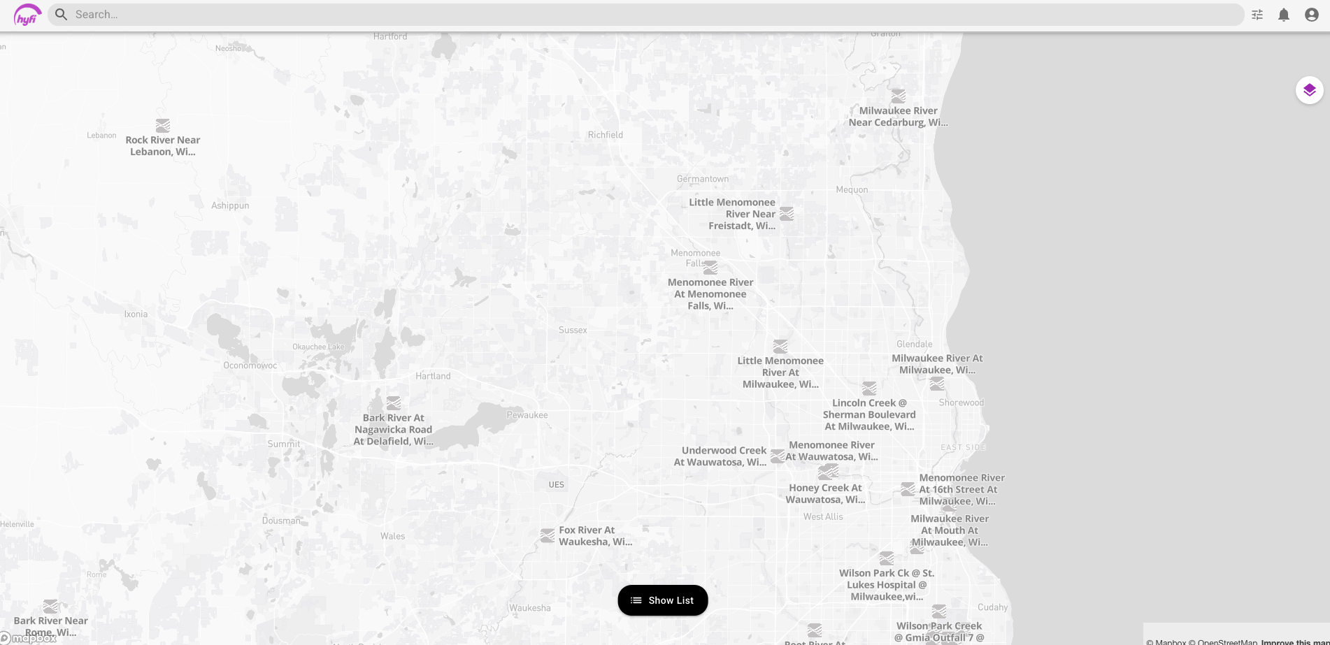
- Navigate to the map view and zoom in. USGS sites will automatically populate on the map, as shown below.
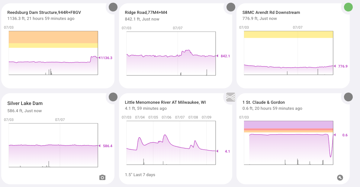
- Click on the USGS site you want to add. If the site has data, a graph of the data will open.

- Click the Add icon in the lower right corner to add the site to your team.

- Refresh the page. The USGS site you selected should now appear in your list of sites.
Removing a USGS Site from Your Team
- Click on the USGS site you want to remove to navigate to the site view.

- Click the trash can icon in the lower right corner.

- The web page will refresh, and the USGS site will be removed from your team.
Watch the Video
Here’s a short video guide showing how to add and remove USGS sites in your dashboard: